

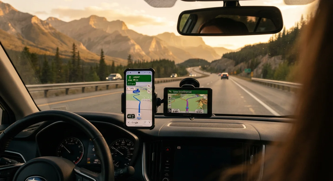
Key Takeaways
- Dedicated GPS units work entirely without cellular service and are reliable in remote areas.
- Offline maps on smartphones offer a flexible middle ground but require advance preparation.
- Navigation apps with live data shine in urban and suburban driving but depend on a signal.
- Layering two navigation methods is the most dependable strategy for long road trips.
- Battery life, map update frequency, and data privacy differ significantly across all three options.
Our Verdict
No single navigation method is perfect for every road trip scenario. Dedicated GPS units lead in off-grid reliability, offline smartphone maps offer versatility at low cost, and connected navigation apps excel when live traffic and business searches matter most. The smartest strategy combines at least two approaches before leaving home.
| Best for | Recommended |
|---|---|
| Remote routes, national parks, or areas with no cell coverage | Dedicated GPS Device |
| Travelers who want flexible, low-cost backup navigation | Offline Maps on Smartphone |
| Urban and suburban driving with real-time traffic needs | Connected Navigation Apps |
| Long multi-day road trips across varied terrain | GPS Device + Offline Maps (layered approach) |
Why Navigation Method Still Matters
Cell coverage in the United States is remarkably broad in cities and along major interstates — but step off the beaten path onto a forest road, a rural two-lane, or a canyon route, and that signal can vanish without warning. Planning your navigation strategy before departure is just as important as packing snacks or checking tire pressure.
There are three main tools drivers rely on: dedicated GPS devices (standalone units that communicate with satellites rather than cell towers), offline maps (downloaded map data stored on your phone), and connected navigation apps (apps that stream live traffic, routing, and business data over a data connection). Each has a distinct profile of strengths and tradeoffs. For a deeper look at how trip type shapes your preparation, see how planning changes depending on your crew.
| Dedicated GPS Device | Offline Maps | Connected Navigation App | |
|---|---|---|---|
| Works without cell signal | Yes — fully independent | Yes — after pre-download | No — requires data connection |
| Live traffic updates | Limited (FM receiver or Bluetooth needed) | No | Yes — real-time |
| Map update process | Manual, sometimes paid | In-app download before trip | Automatic via server |
| Upfront cost | Moderate to high (hardware) | Free to low (storage needed) | Free (data plan required) |
| Battery dependency | Own battery or car power | Phone battery | Phone battery (high drain) |
| Best environment | Remote, rural, off-highway | Varied — good backup tool | Urban and highway corridors |
Dedicated GPS Devices: Satellite-Powered and Signal-Independent
A dedicated GPS unit uses signals from the Global Positioning System (GPS) — a network of satellites orbiting Earth — to determine your location. No cellular plan required. This makes them particularly valuable in dead zones: backcountry roads, mountain passes, and rural stretches where apps go dark.
Modern units typically store detailed maps onboard and offer turn-by-turn voice guidance, lane assist on complex interchanges, and points of interest. The tradeoffs are real: units need periodic map updates (often purchased separately), they don't show live traffic unless paired with an FM traffic receiver or connected to a phone via Bluetooth, and the hardware cost is higher upfront than a free app.
Layer Your Navigation Before You Leave
Download offline maps for your entire route the night before departure, even if you plan to use a connected app. If your GPS device hasn't had a map update in over a year, check for updates before the trip. Having two independent navigation methods means a single point of failure — dead phone, lost signal — doesn't strand you.
For drivers doing extensive off-highway travel, some GPS units are purpose-built for outdoor navigation and overlay topographic data — a feature smartphone apps rarely match without a specialty subscription.
Offline Maps: Your Phone's Best Backup Plan
Most major navigation apps allow you to download regional or state-level maps to your device's local storage. Once downloaded, the app can calculate routes and display your position using your phone's built-in GPS chip — no data connection needed. This is a genuinely powerful option for cost-conscious travelers who already carry a smartphone.
The key caveat is preparation: you must download the relevant maps before you lose signal, not after. Map files can be large, so downloading over Wi-Fi at home or a hotel the night before is the practical approach. Offline maps typically lack real-time traffic, road closure alerts, or updated business hours — but for getting from point A to point B on a road you've pre-loaded, they perform reliably.
Privacy-minded travelers should also note that navigation apps — even in offline mode — may request ongoing location access. For a plain-language explanation of what those permissions mean, see what your device's privacy settings actually mean.
Connected Navigation Apps: Powerful When Signal Is Plentiful
Apps that stream live data can reroute you around a fresh accident in seconds, surface gas station prices, and suggest rest stops rated by thousands of other travelers. For urban driving and well-covered highway corridors, their situational awareness is unmatched by any offline alternative.
Their Achilles heel is obvious: they depend on a data connection. Even with a strong plan, rural stretches and canyon roads can drop signal mid-route. If you're traveling internationally, data roaming costs can add up quickly — a topic explored in depth in our guide to SIM cards, eSIMs, and roaming.
Don't Rely Solely on a Connected App in Remote Areas
Several areas popular with road trippers — including sections of national parks, desert highways, and mountain passes — have little to no cellular coverage. Drivers who depend exclusively on a connected navigation app in these zones have reported being stranded or misdirected when the app loses its data feed. Always carry a downloaded offline map or a standalone GPS device as a backup when your route includes remote segments.
Battery drain is also a real-world concern: streaming maps, GPS, and screen-on navigation together can deplete a phone battery in two to three hours without a car charger. Always keep a charged backup or car adapter in the vehicle.
Strategic stop planning pairs well with good navigation — well-chosen stopping points can help you anticipate where reliable signal may be available to refresh live route data.